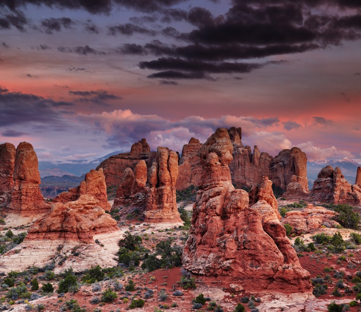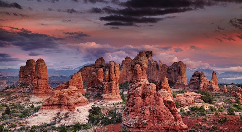
There’s no better way to see the natural wonders of North America’s national parks than on foot. From easy rambles through Southern forests to hair-raising scrambles across narrow rock faces thousands of feet in the air, get out of the car and make some memories on these one-of-a-kind day hikes.
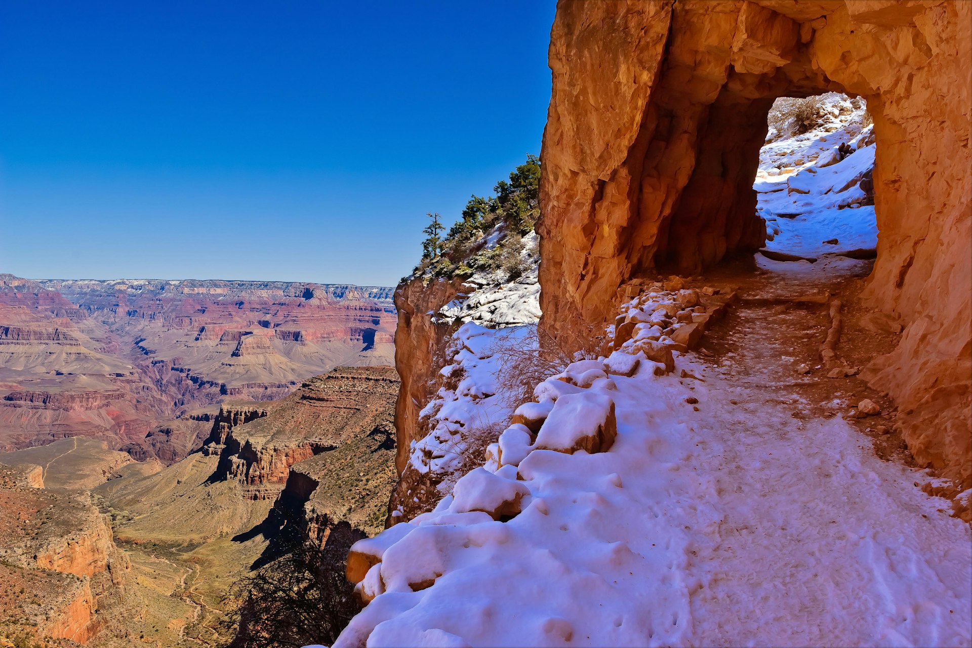
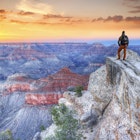
Grand Canyon National Park
Bright Angel Trail – Short
- Start/Finish: Bright Angel Trailhead
- Duration: Mile-and-a-half resthouse – 2-3 hours; Three-mile resthouse – 4-5 hours; Distance: 3 miles/ 6 miles; Difficulty: Moderate-difficult
If you have limited time in the Grand Canyon, you can’t do much better than this beautiful hike. The wide and well-maintained corridor trail offers shady rest-houses and stretches along a delightful creek. At the trailhead, the canyon beckons in all its glory. If you suffer vertigo, look to the left for a while – the first five minutes are the hardest. Highlights include two tunnels, Native American pictographs and the visual reward of the dramatically broad Tonto Platform.
Bright Angel Trail – Long
- Start/Finish: Bright Angel Trailhead
- Duration: Indian Garden, 5-7 hours; Plateau Point, 8-10 hours; Distance: 9.2 miles or 12.2 miles round-trip; Difficulty: Difficult
Continuing down the Bright Angel adds difficulty but brings you to the shady oasis of Indian Garden. For an even more challenging and very exposed hike to expansive views of the inner gorge, cross Tonto Platform along a spur trail to reach Plateau Point. It’s a popular destination for strong day hikers, but the long, exposed stretch can be searingly hot.
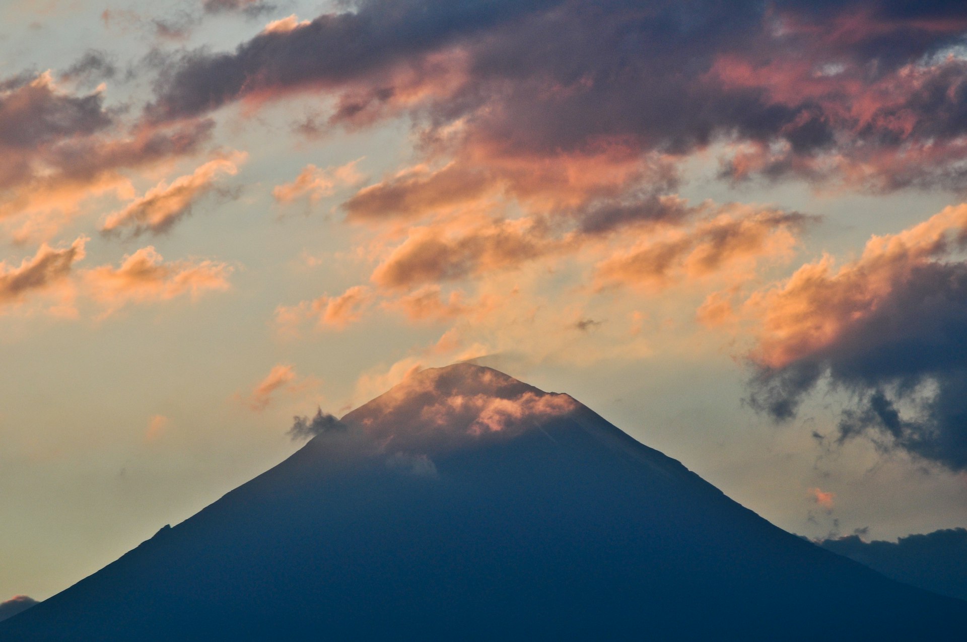
Parque Nacional Iztaccíhuatl-Popocatépetl
- Start/Finish: The park entrance
- Duration: 6-8 hours Distance: 12.5 miles round trip; Difficulty: Difficult
The Paso de Cortes is the mountain saddle between the towering Popocatépetl and Iztaccíhuatl volcanoes – the second and third-highest mountains in Mexico. Along the way you'll have stunning views of the surrounding peaks and plateaus. You can shorten the hike by starting at the La Joya trailhead instead of the park entrance.
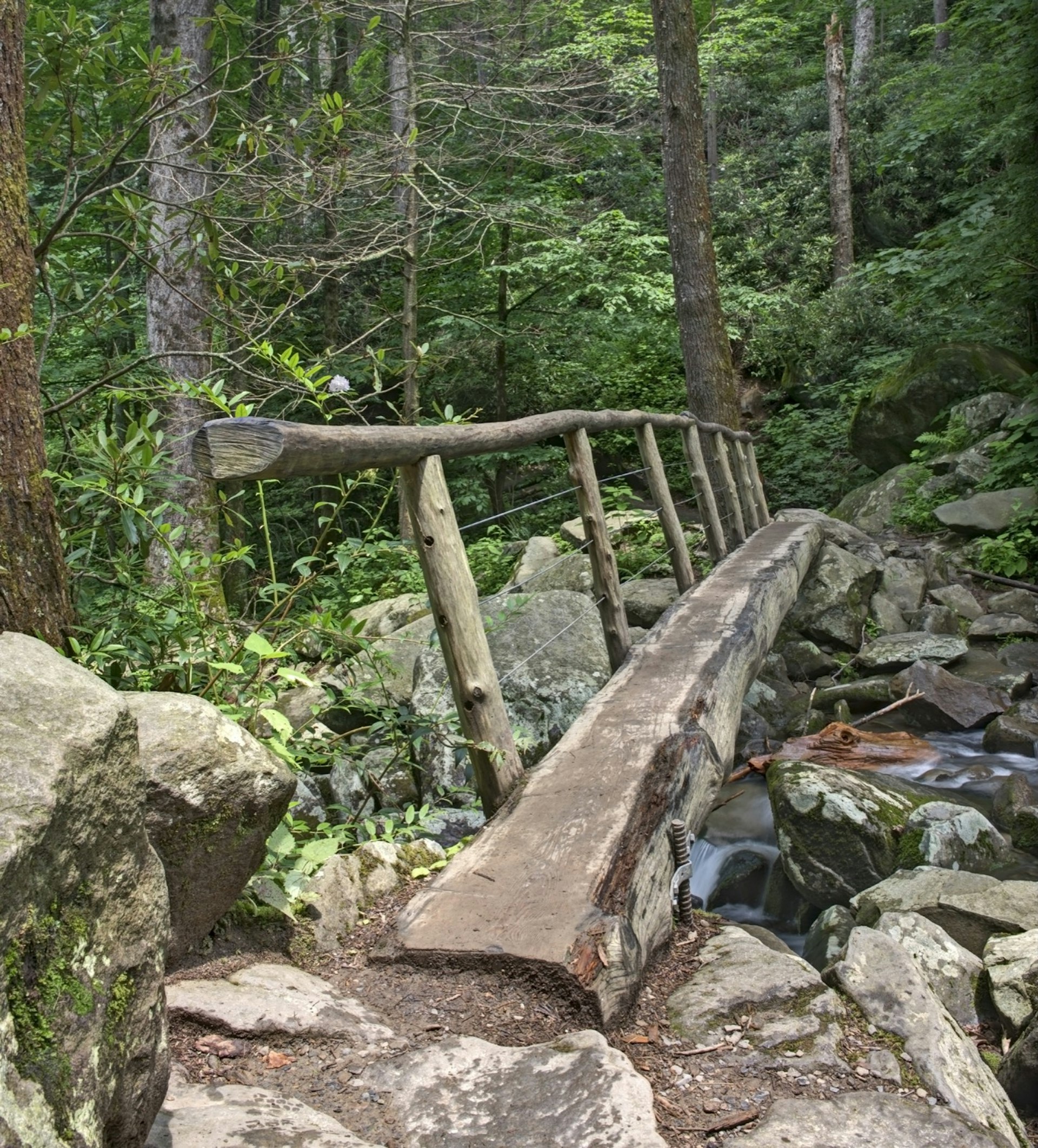
Great Smoky Mountains National Park
Anthony Creek Trail
- Start/End: Cades Cove picnic area
- Duration: 2 hours; Distance: 2 miles to Anthony Creek Bridge; Difficulty: Easy
The most-visited National Park has plenty of rugged trails for experienced hikers that lead to stunning vistas. But for an introduction to the creek-and-forest charms of Cades Cove (and the Great Smoky Mountains in general), take this easy, kid-friendly ramble. With log bridges, burbling creeks, spring wildflowers and soaring trees, the backdrop for the trail is a page from a children’s fantasy tale – just watch out for the horse poop!
Alum Cave Bluffs
- Start/End Alum Cave Bluffs parking area
- Duration 2½ to 3½ hours round-trip; Distance 4.6 miles; Difficulty Hard
One of the 10 most popular trails in the Smoky Mountains, Alum Cave Bluffs often draws a crowd. It's a fantastic walk crossing log bridges, spying old-growth forest and enjoying fine views, though you should try to be on the trail before 9am to enjoy the scenery without the maddening crowds.
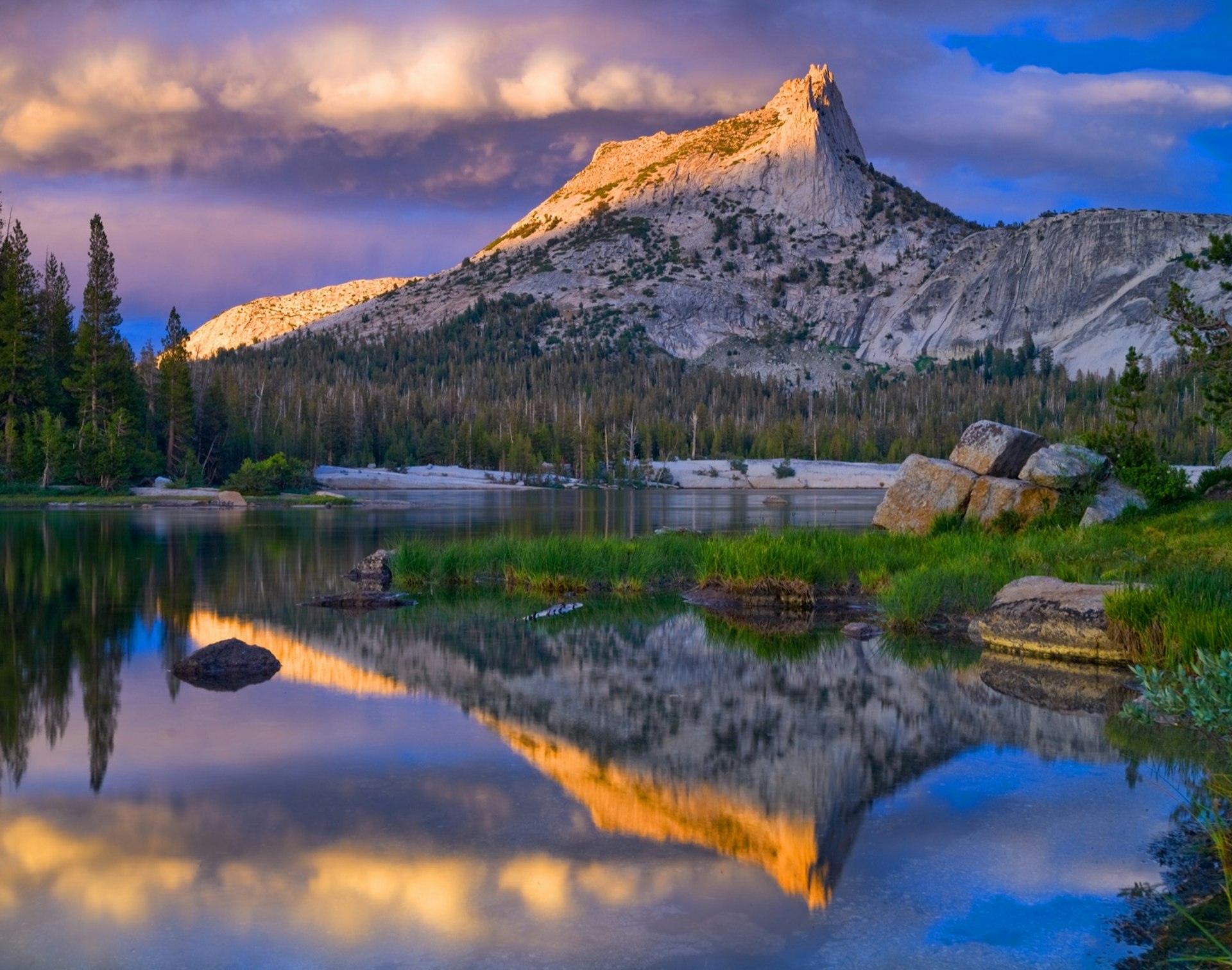
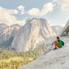
Yosemite National Park
Cathedral Lakes
- Start/Finish: Cathedral Lakes Trailhead
- Duration: 4–7 hours; Distance: 8 miles (upper lake); Difficulty: Moderate
Easily one of Yosemite’s most spectacular hikes, this steady climb through mixed conifer forest ends with glorious views of Cathedral Peak from the shores of two shimmering alpine lakes. Cathedral Lake, the lower of the two lakes, sits within a mind-blowing glacial cirque, a perfect amphitheater of granite. The upper lake is less spectacular when measured against the lower lake, but by all other standards it’s utterly sublime.
A guide to your first visit to Yosemite National Park
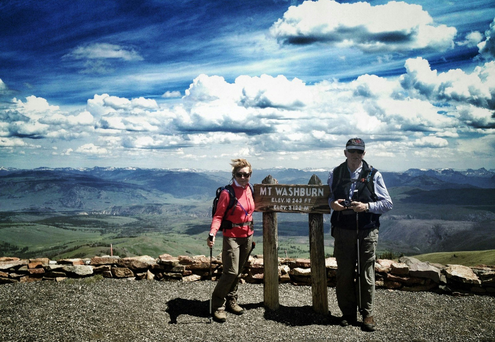
Yellowstone National Park
Mt Washburn
- Start/Finish: Dunraven Pass trailhead
- Duration: 4 hours; Distance: 4 miles; Difficulty: Moderate
Yellowstone’s most popular day hike offers unsurpassed 360-degree mountaintop views, with the chance of spotting bighorn sheep and black bears. This popular return hike climbs gradually to the fire lookout tower on the summit of Mt Washburn for some of the park’s best views. Interpretive displays in the lookout make this a memorable place to get a sense of the awesome scale of the Yellowstone super-volcano.
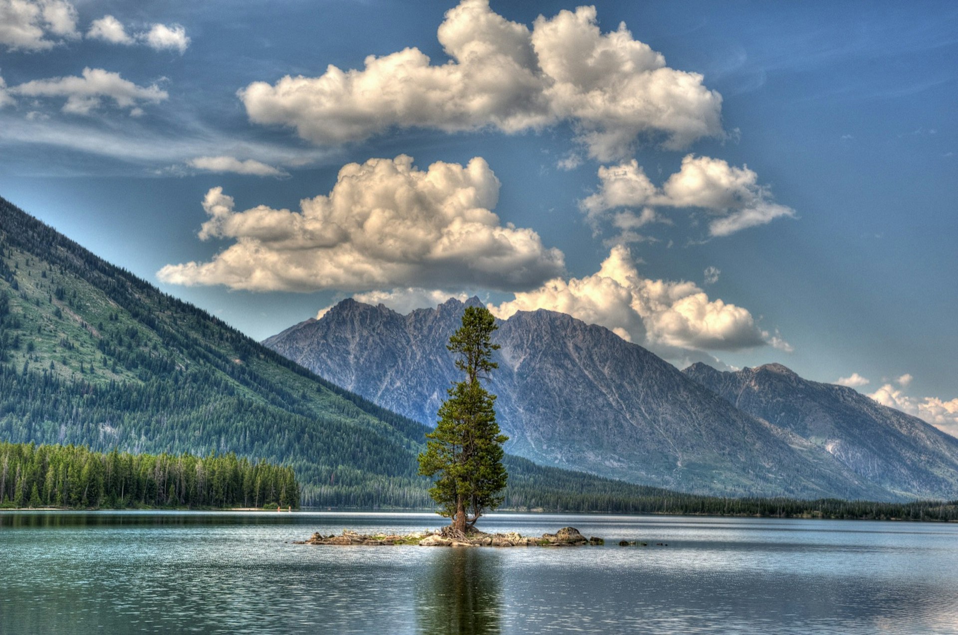
Grand Teton National Park
Leigh & Bearpaw Lakes
- Start/Finish: Leigh Lake Trailhead
- Duration: 3½ hours; Distance: 4 miles; Difficulty: Easy-moderate
Though it's the most crowded sector of the park, there's scenery in the Central Tetons to please everyone: lakes, waterfalls, glaciers, canyons and viewpoints. This hike showcases all of it, in a fun, flat family outing skirting forest-clad, crystal-clear swimming holes. Always keep track of your picnic food, since bears are frequently spotted here. Along the way, your surroundings open up to fine views of Mt Moran and its Falling Ice and Skillet Glaciers.
Cascade Canyon to Lake Solitude
- Start/Finish: Jenny Lake western boat dock
- Duration: 6-7 hours; Distance: 14.4 miles; Difficulty: Moderate to Difficult.
Ultra-popular, this day hike scales to a gorgeous alpine lake via a gradual climb. From the Jenny Lake western boat dock, it's a 14.4-mile round-trip (18.4 miles without the boat shuttle across the lake) to alpine gem Lake Solitude, but you can turn around earlier and still soak in views. The trail passes popular Inspiration Point and Hidden Falls before climbing Cascade Canyon to the Forks. Go right for Lake Solitude (9035ft). Be mindful of the moose and bear that frequent the area.
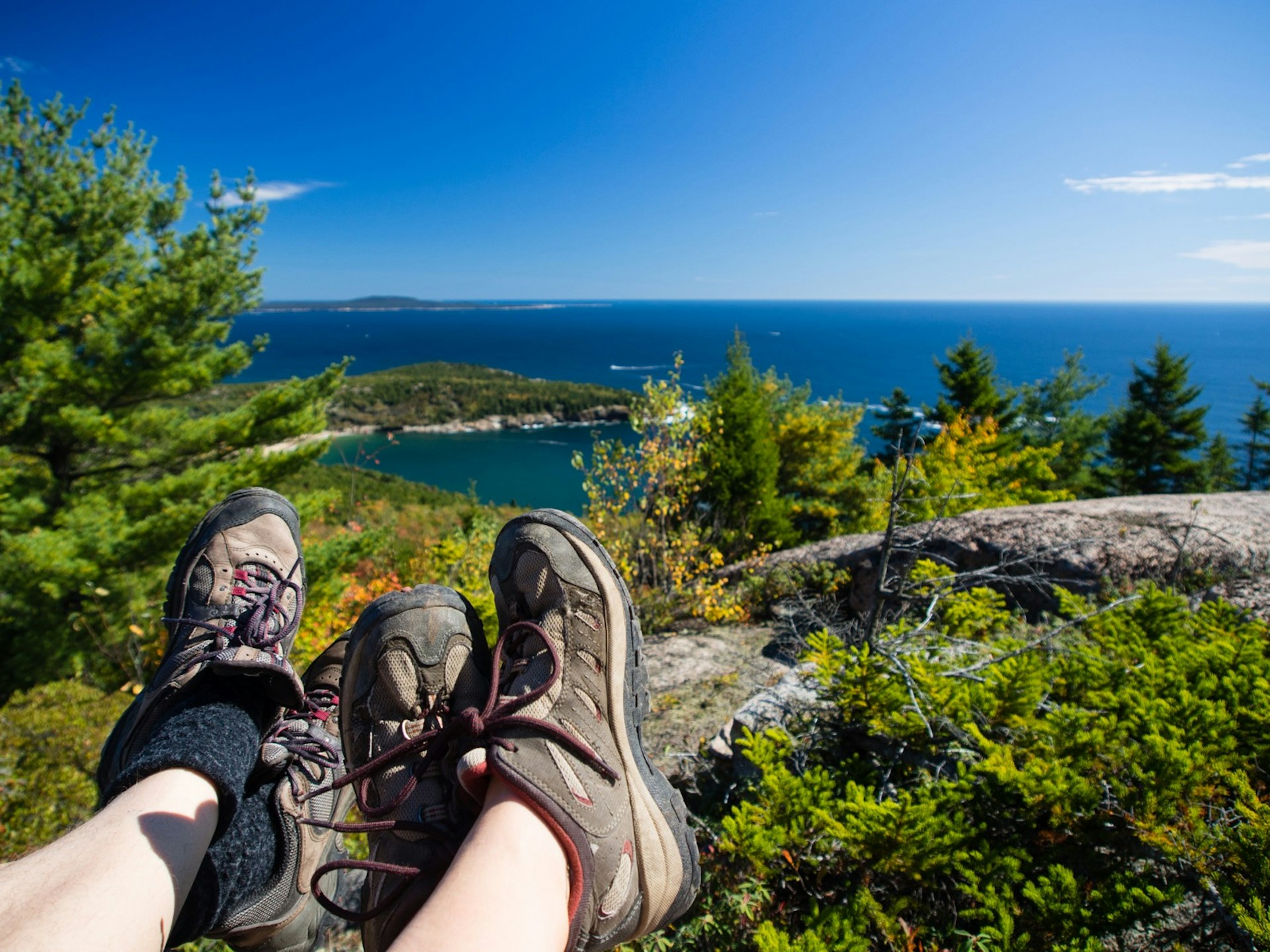
Acadia National Park
Beehive Loop
- Start/End: Bowl Trailhead
- Duration: 2 hours; Distance: 6 miles; Difficulty: Difficult
The only National Park in New England, Acadia has a handful of hikes that a feel a bit like a European via ferrata, where you'll be ascending stretches of the trail with the help of iron, ladder-like rungs. Those with a fear of heights may want to skip this one. The trail goes right up the face of the mountain, and you'll soon find yourself climbing up steep sections along narrow exposed cliffs.
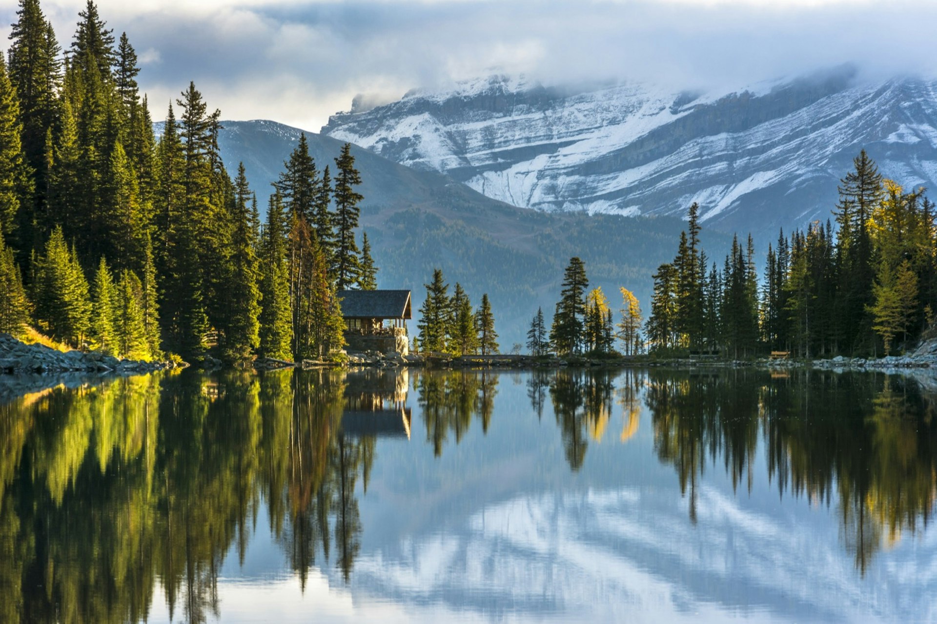
Banff National Park
Lake Agnes & The Beehives
- Start/Finish: Fairmont Chateau Lake Louise
- Duration: 4 hours; Distance: 6 miles; Difficulty: Moderate to Lake Agnes, moderate-difficult to Big Beehive
This is the walk that practically everyone who visits Banff National Park – and especially Lake Louise – wants to do. It’s crowded, but the sights are unmissable, visiting a historic teahouse, two mountain lakes and a fantastic cloud-level lookout. The route takes in forest trails, hidden lakes and scenic viewpoints, but it is steep (especially around the Big Beehive). The teahouse is often busy, but it serves a huge selection of exotic teas, soups, cakes and sandwich platters.
Why you should visit Banff and Lake Louise this winter
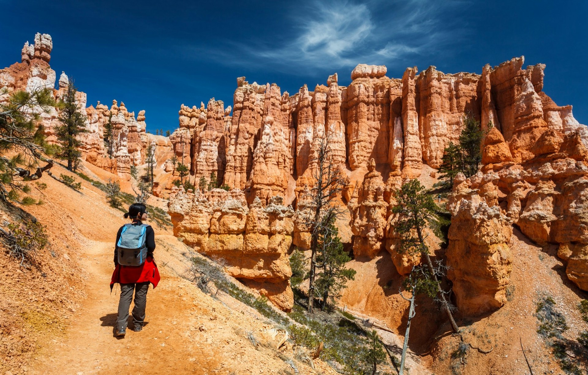
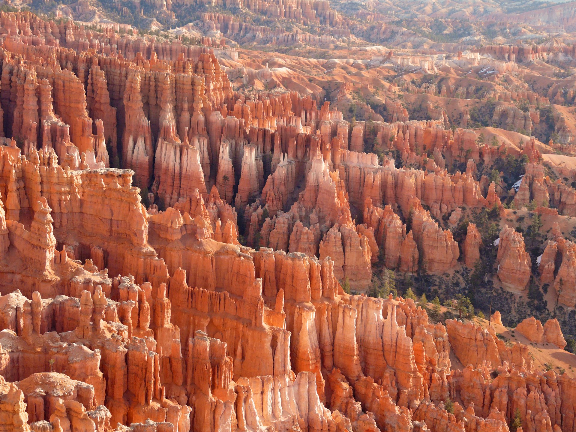
Bryce Canyon National Park
Navajo Loop-Queen’s Garden Combination Trail
- Start/Finish: Sunrise Point
- Duration: 2–3 hours; Distance: 2.9 miles; Difficulty: Moderate
To hit Bryce Canyon National Park’s signature features in a relatively short amount of time, this trail has it all. The Queen’s Garden Connecting Trail descends to the garden of spires and follows the canyon floor, where tall pines provide shade and offer perspective on oversize hoodoos. Other highlights include Wall Street, the Silent City, Thor’s Hammer and a detour to Sunrise Point, where you can gaze into the canyon for yet another perspective on the hoodoos.
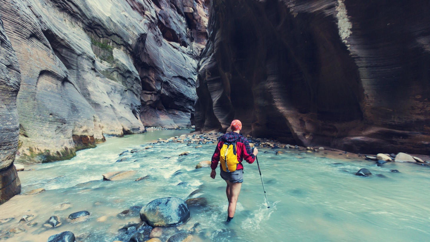
Zion National Park
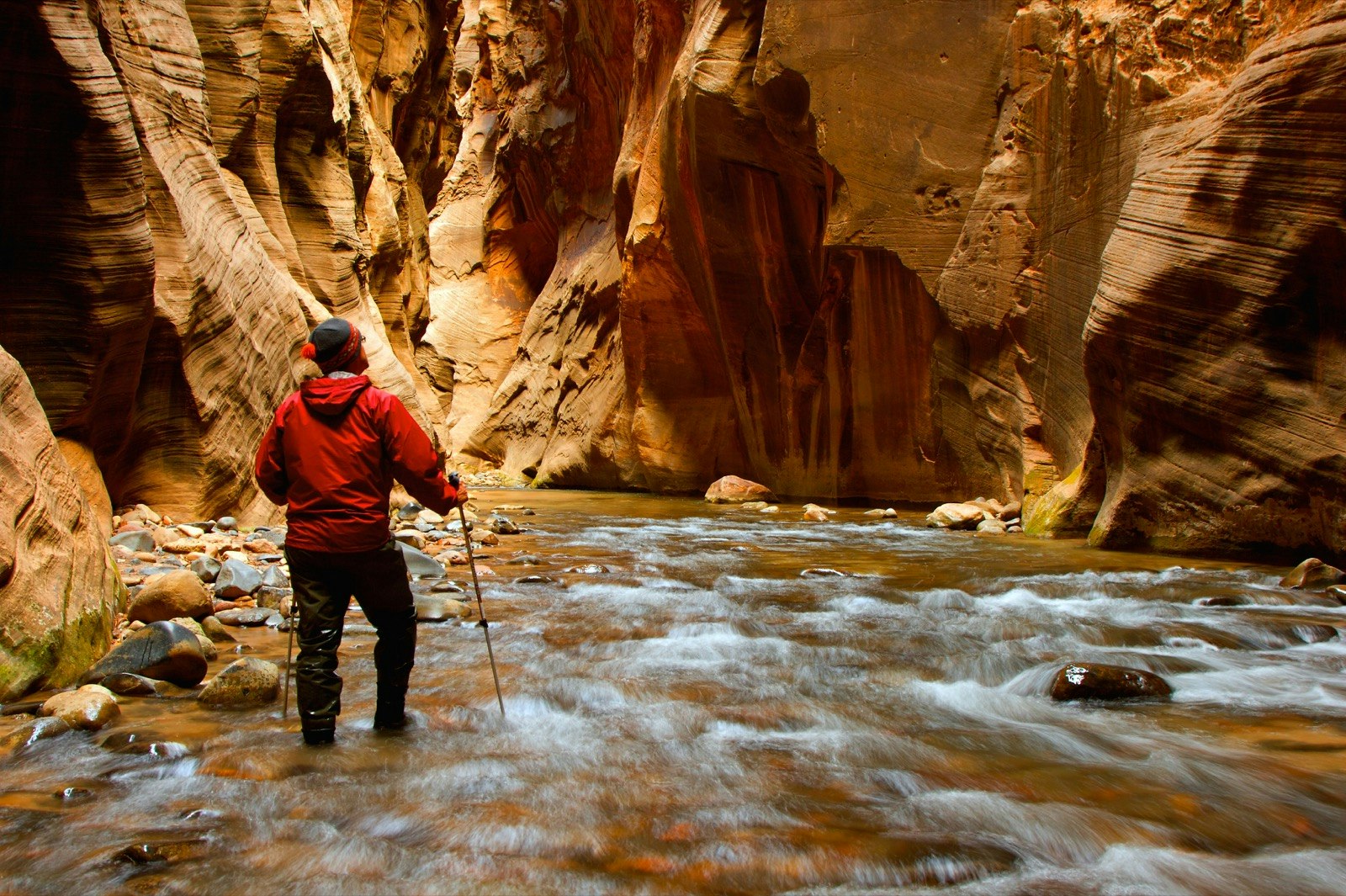
The Narrows
- Start/Finish: Temple of Sinawava
- Duration: up to 8 hours; Distance: 10 miles; Difficulty: Difficult
Sometimes a bit more of a swim than a hike, this Zion “trail” is actually the Virgin River. You’ll be in the water the majority of the way upstream through this impressive canyon. If you hike up from the bottom, you don't need a permit and you can still reach the narrowest and most spectacular section. It’s 5 miles to Big Springs (as far as day hikers are allowed) – but don’t underestimate the distance: this is a long way to hike upstream!
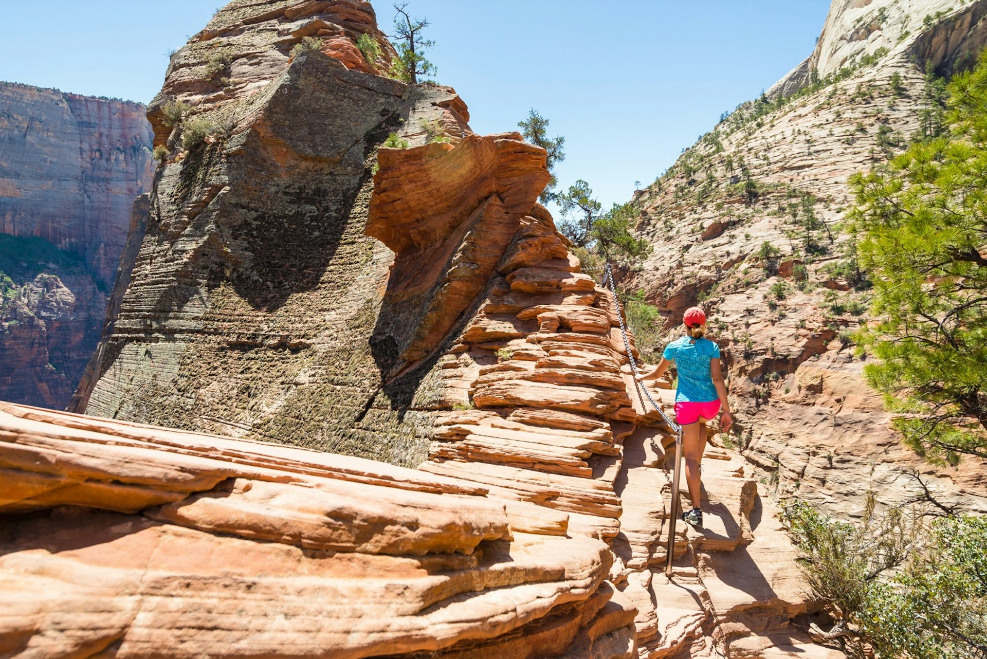
Angels Landing
- Start/Finish: Grotto shuttle stop
- Duration: 3-4 hours; Distance: 4 miles; Difficulty: Difficult
We saved the best – and scariest – for last. The best known of Zion’s canyon hikes ends in a razor's-edge traverse and a chain-assisted scramble to the top. Grippy shoes are a must. This strenuous hike is not just a physical challenge, but a mental one for those with a fear of heights. Adventure lovers will have a blast – the exposed scrambling and unrivaled 360-degree panoramas of nearly the entire canyon ensure that Angels Landing lives up to the hype.
Glacier National Park
Iceberg Lake Trail
- Start/Finish: Iceberg Lake Trailhead / Swiftcurrent Motor Inn
- Duration: 4.5 hours; Distance: 9 miles; Difficulty: Moderate
This stunning hike traverses meadows filled with bear and moose below Altyn Peak and Mount Wilburg to reach one of the most impressive glacial lakes in the Rockies, where the titular icebergs float like cubes in a bright blue cocktail. Don't miss the views of Ptarmigan Falls along the way, too.
Bryce Canyon
The Rim Trail
- Start/Finish: Fairyland Point, Bryce Point or any rim trailhead
- Duration: 2-3 hours; Distance: 11 miles round trip; Difficulty: Easy to moderate
The easiest and most family-friendly hike in the national park, this 0.5- to 5.5-mile-long (one-way) trail outlines Bryce Amphitheater from Fairyland Point to Bryce Point, with a stellar overlook of hoodoos. Several sections are paved and wheelchair accessible, the most level being the half-mile between Sunrise and Sunset Points. In the summer, you could easily take the shuttle to any one point and return from another instead of backtracking to a car.
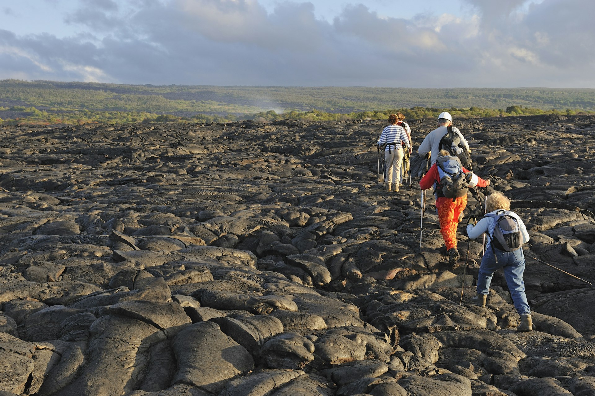
Hawai'i Volcanoes National Park
Kilauea Iki Trail
- Start/End Kilauea Iki parking lot on Crater Rim Dr
- Duration: 2-3 hours; Distance: 4.5 miles; Difficulty:
If you can only do one day hike, make it this one. Do the loop counterclockwise through an astounding microcosm of the park that descends through fairy-tale ohia forests to a mile-wide, still-steaming lava lake that was filled relatively recently by a fiery fountain spewing 403 million gallons of lava per second. Hit the trail before 8am to beat the crowds. The faint footpath across the crater floor is marked by ahu (stone cairns) to aid navigation. Follow them; the crust can be thin elsewhere.
You might also like:
Introducing the United States' 63 national parks
The best one-day itineraries for 5 US national parks
The complete guide to Mammoth Cave National Park
Get more travel inspiration, tips and exclusive offers sent straight to your inbox with our weekly newsletter. Check out adventure tours for every traveler from our trusted partners.